Industries
Insurance / Reinsurance / Brokers
Logistics / Retail / Transportation
Can’t find your industry? Contact us
Products
Qarta
Cloud-Native GeoIntelligence Engine
Graph
Cloud-Based Location Intelligence Platform
Rapid
Cloud-Native Geospatial Business Intelligence Engine
EventHub
Real-Time Natural Event Intelligence
Quarticle Private Cloud
Kubernetes-Powered Private Cloud Platform
Graph AI Agent
Conversational Geospatial Intelligence
MCP Server
AI-Ready Geospatial Integration for Quarticle Products
Resources
Developers
Data
Integration & Connectors
Case Studies
Blog
About
Partner Program
About Us
Contact
Quarticle Blog
July 27th, 2026
Site Risk Assessment: Moving Flood Analysis to the Building Level
Read more
July 8th, 2026
Quarticle Joins the Santiago Network and Netzwerk SDS to Advance Climate Resilience and Digital Sovereignty
Read more
June 17th, 2026
Closing the Execution Gap in Geospatial Projects
Read more
May 15th, 2026
Quarticle Partners with STACKIT to Deliver Sovereign GeoIntelligence Across Europe
Read more
April 16th, 2026
Advancing Climate Risk Intelligence: Quarticle Partners with Haskoning
Read more
March 17th, 2026
Quarticle Expands Its Partnerships to Bring Cloud-Native GeoIntelligence to Insurers
Read more
February 18th, 2026
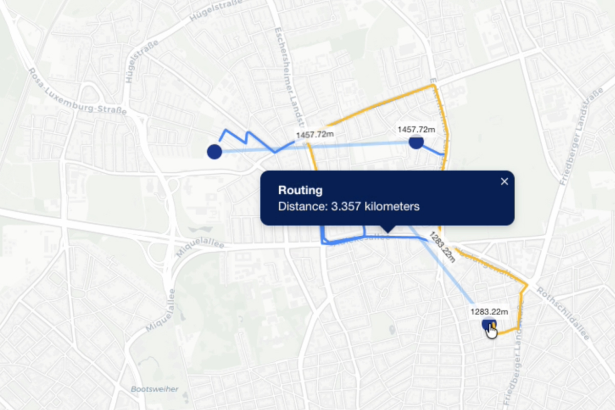
From Static GIS to Real-Time Routing Platforms
Read more
January, 21st, 2026
Insurance Compliance in 2026: A Turning Point
Read more
December 10th, 2025
How to Plan Your Geo Project for Maximum Business Success
Read more
Next


.jpg)