At Quarticle, we develop high-performance, cloud-native GIS solutions that transform complex location data into clear, actionable intelligence. Our expertise sits at the intersection of geospatial science, AI-driven analytics, and cloud infrastructure, helping organizations across various industries make faster, smarter, and more risk-aware decisions.
We make the world’s geospatial data meaningful and usable for businesses and the people they serve. Our mission is to deliver fast, secure, and flexible cloud-native tools that drive real-world impact.
.avif)


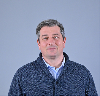
Octavian Iercan got his PhD in remote sensing while also working on various research projects at the FELIS Institute of Remote Sensing and Landscape Information Systems, from the Albert-Ludwig University of Freiburg, Germany. After his studies, he worked at TeleAtlas (Vienna) as country manager for Romania, at Google (Zurich) as Operations Lead for StreetView projects, at EPFL (Lausanne) as a Postdoctoral Researcher, and at SwissRe (Zurich) as Head of Geoinformation:
“Through my experiences and expertise, I recognized the need for an out-of-the-box approach to GIS solutions that would meet current demands and fill industry gaps. Specifically, there is a need for easily accessible, usable, and performant cloud-based GIS solutions.
This is why I founded Quarticle, a company designed to deliver measurable value through high-performance, client-focused solutions.
I am immensely proud of my team and what we've created so far. I believe we make a true impact since we use the latest technologies and build products that surprise clients with their remarkable performance and versatility. The long-term relationships we built with our clients are a testimony to our commitment to quality and trust.”
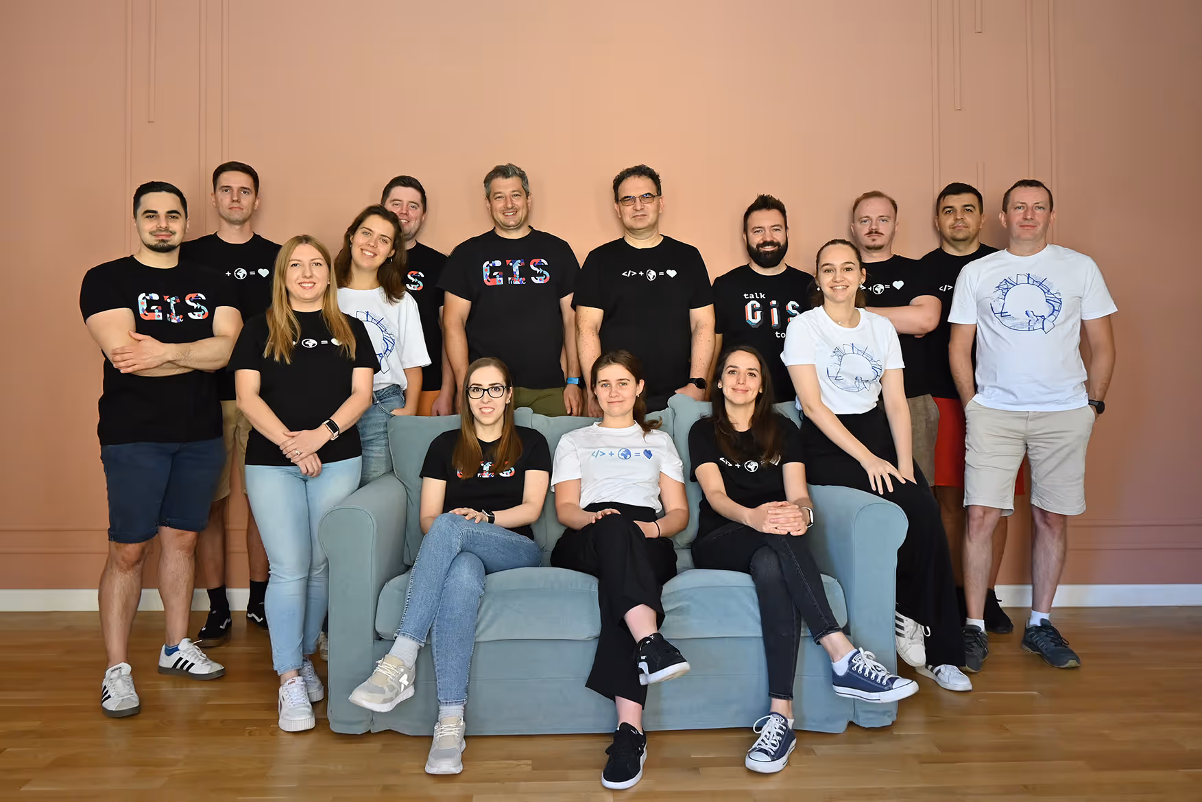

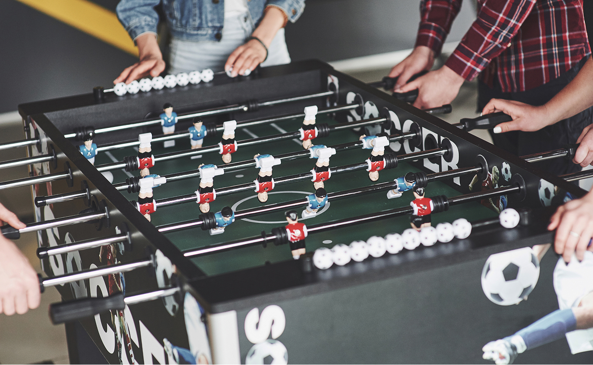
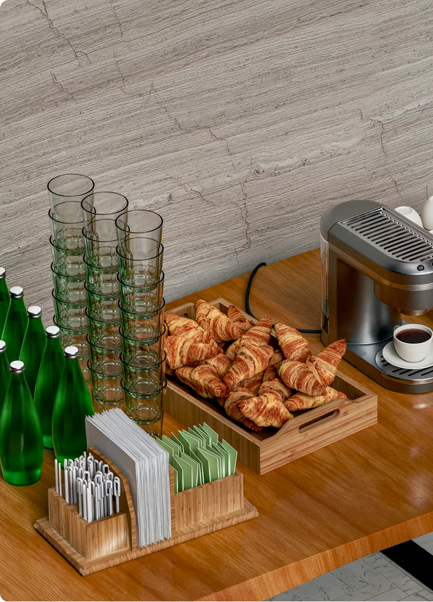
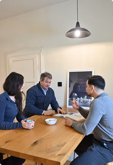
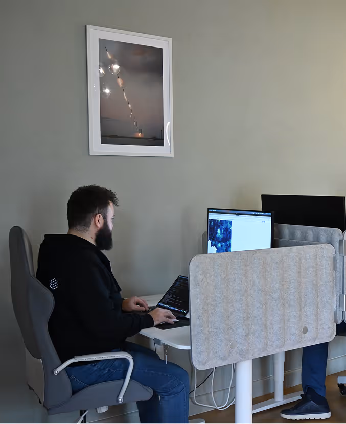
Home office or hybrid work
As much as we love spending time together as a team, we understand that some of our colleagues prefer to work remotely or in a hybrid setting. Our team can choose the best scenario for them and select their office and remote work days.