Open-Source Layers
Open-Source Layers
Freely available, validated dataset from public and global sources (e.g. Copernicus, WorldPop, OpenStreetMap)
Geocoding, base enrichment, and environmental context
Proprietary Datasets (Resold)
Licenced, high-quality data we resell from trusted partners
Flood zones, hazard scores, demographics, crime, maritime activity
Custom/Client Data
Securely integrated first-party data from your internal systems
Claims history, policy books, exposure files
Our solutions support industry-standard geospatial services, enabling insurers to easily connect with their GIS tools and leverage spatial data without vendor lock-in.
Key features include:

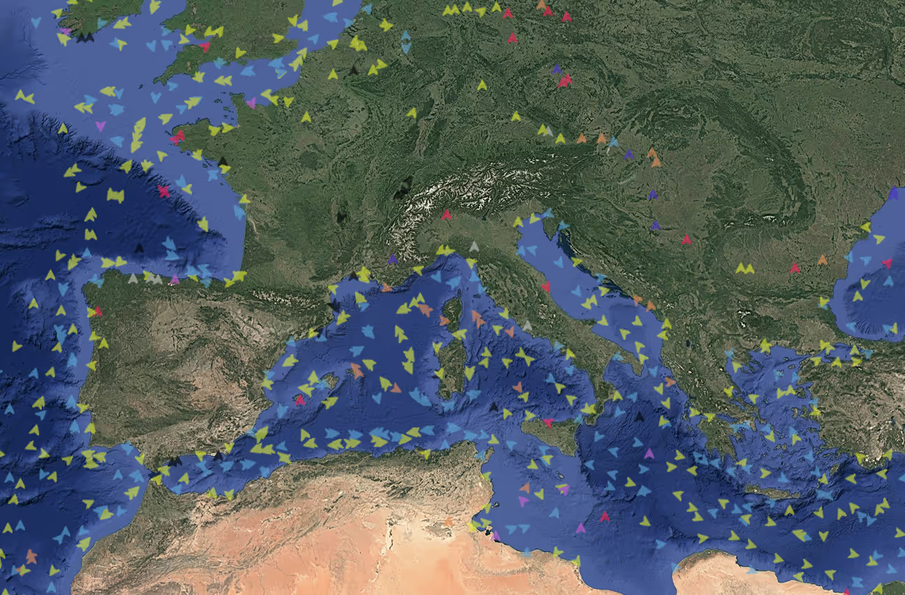
An international (re)insurance client approached us with a clear requirement: access to up-to-date AIS data, maritime weather intelligence, and tropical cyclone information. We delivered comprehensively and with full integration into their risk workflows.
Discover the full story
