Graph AI Agent

Conversational Geospatial Intelligence for Insurance Teams

GIS mapping interface showing flood zone and accumulation analysis. Multiple circular markers are scattered across the map, and a light blue polygon shape is highlighted in the center. The interface includes standard mapping controls and different functions on the right side, displayed in Graph by Quarticle.

Unlock Spatial Intelligence with the Graph AI Agent

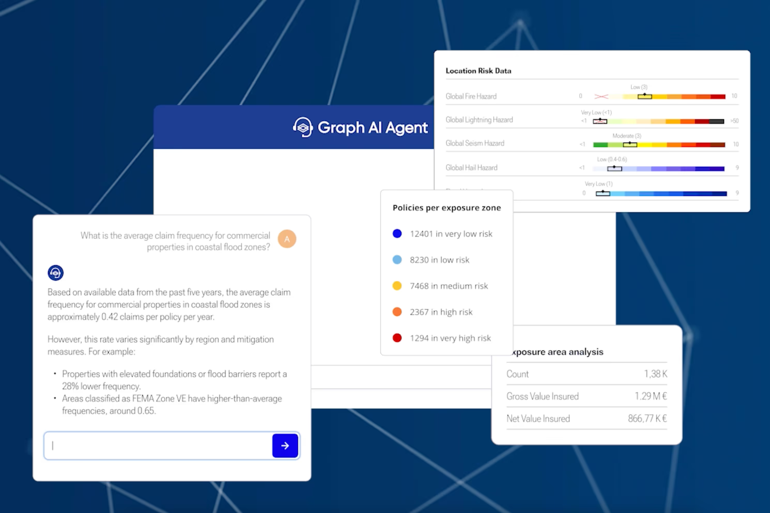
The Graph AI Agent simplifies complex geospatial risk analysis for insurance professionals. Ask plain-language questions and get precise, instant answers. Whether you're evaluating hazard layers, portfolio exposure, or enriching CSVs, the AI Agent handles the complexity of geospatial analysis, allowing you to focus on risk evaluation, strategic decisions, and portfolio outcomes.
No GIS background needed
Secure, cloud-based, and ready to deploy
Fast, reliable, insurance-aligned insights
A digital map interface centered on Basel, Switzerland, with various locations and a location pin showcased in Graph by Quarticle. The menu on the left presents options for adding data, layers, and tools for exploring geographical information.

The Graph AI Agent Supports

Location-based risk scoring
Hazard and exposure layer analysis
CSV file enrichment and reporting
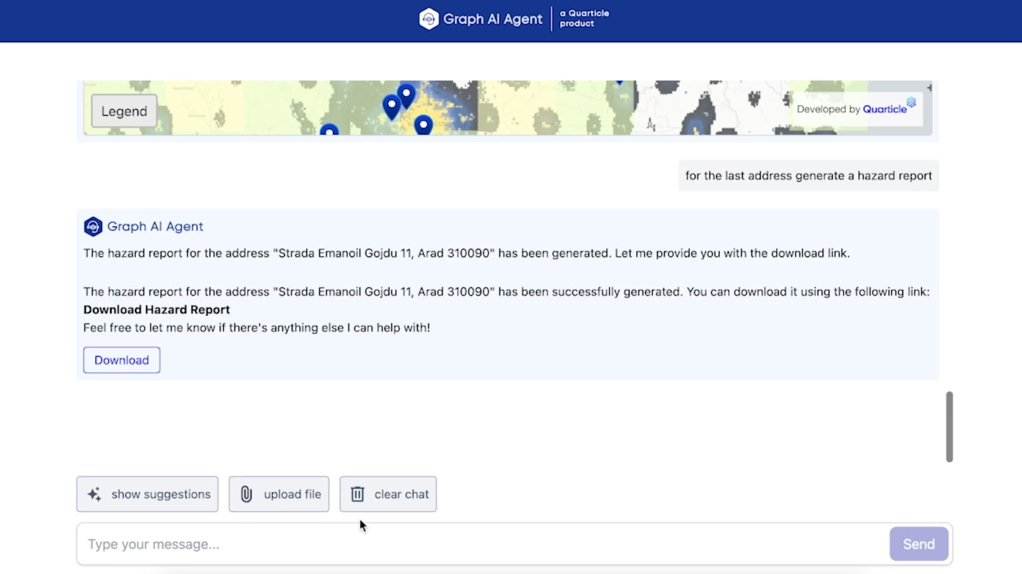
Automated PDF report generation for location lists
Interactive map generation from user-provided locations
Secure cloud-based file handling
Real-time access to risk metrics from Qarta™
Key Capabilities

Conversational Geospatial Analysis

Interact with your risk data using natural language; no need for code or GIS tools.

Context-Aware Dialogues

Engage in multi-step queries where the AI tracks context for deeper, iterative analysis and refined insights.

Human-in-the-Loop Control

You stay in control. Review, approve, or edit AI-generated outputs before applying them.

Dynamic Visualization and Reporting

Instantly generate maps, overlays, and reports in response to your queries, enabling clear and actionable portfolio insights.

Ready to unlock the power of conversational GeoIntelligence?