Industries
Insurance / Reinsurance / Brokers
Logistics / Retail / Transportation
Can’t find your industry? Contact us
Products
Qarta
Cloud-Native GeoIntelligence Engine
Graph
Cloud-Based Location Intelligence Platform
Rapid
Cloud-Native Geospatial Business Intelligence Engine
EventHub
Real-Time Natural Event Intelligence
Quarticle Private Cloud
Kubernetes-Powered Private Cloud Platform
Graph AI Agent
Conversational Geospatial Intelligence
MCP Server
AI-Ready Geospatial Integration for Quarticle Products
Resources
Developers
Data
Integration & Connectors
Case Studies
Blog
About
Partner Program
About Us
Contact
MCP Server: Model Context Protocol
Transform geospatial data into AI-ready intelligence with one unified protocol.
Talk to an expert
Product Capabilities
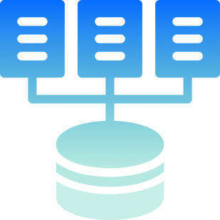
Unified AI Connectivity
One consistent interface replaces custom integrations across geospatial, location, and operational data.
Live Data Access
AI agents access real-time geospatial layers, demographics, operational datasets, and event data instantly.
Enterprise Controls
Permissions, encryption, auditability, and data exposure management ensure secure AI interactions.
Scalable Interface
Single protocol scales across teams, eliminating the complexity of point-to-point integration.
Proven Results
Zero-Friction Connectivity:
Connect all Quarticle products instantly
Faster AI Deployment:
Launch models without integration delays
Cross-Product Insights:
Combine geospatial, risk, and event data in real-time
Future-Ready Architecture:
Modular framework accelerates AI innovation
MCP Integrations
Need unified geospatial data for AI?
Streamline integrations with real-time, AI-ready context.
Download the Product Brief
Schedule a demo