
GIS is built on a foundation of spatial data, but knowing the different GIS data types is just the first step. Once you understand the distinctions between vector, raster, point clouds, and tabular data, the next challenge is processing, optimizing, and integrating this data to extract meaningful insights.
Read more


On May 19th, 2025, Quarticle had the privilege of attending the Mobiliar Lab for Natural Risks - Spring edition - in Bern, Switzerland. Held in the historically flood-prone Berner Matte, the event brought together Swiss climate researchers, insurers, public sector leaders, and technology providers to reflect on past lessons and future strategies in natural hazard management.
Read more


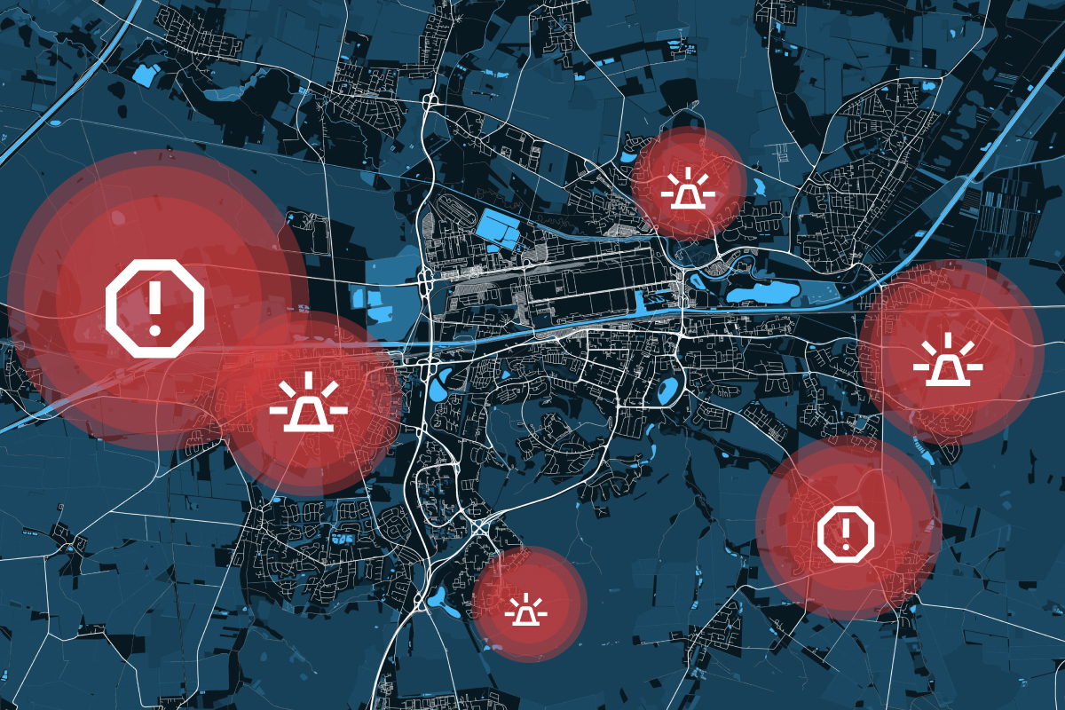
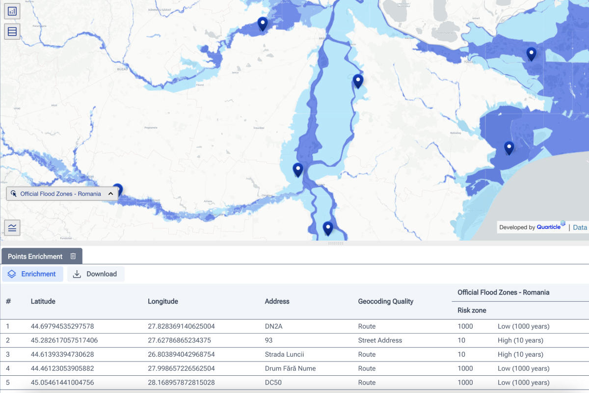
In disaster management, timing, accuracy, and coordination are everything. Whether responding to floods, wildfires, earthquakes, or industrial accidents, emergency managers must make rapid, informed decisions to minimize damage and save lives. This is where Geographic Information Systems (GIS) play a crucial role.GIS integrates spatial data, real-time analytics, and predictive modeling, enabling responders and policymakers to make sense of complex, rapidly changing situations. It is applied throughout the entire emergency management cycle, enhancing preparedness, response, recovery, and mitigation.
Read more


Risk assessment in the insurance and reinsurance industry should be rational and objective. However, human biases, emotions, and subjectivity can unintentionally skew assessments, leading to inaccurate risk evaluations. This results in mispriced policies, inefficient capital allocation, and financial losses.
Read more


The rapid evolution of geospatial technology has brought forth a transformative era where Geospatial AI and Machine Learning in mapping are reshaping how businesses and organizations analyze spatial data.
Read more


In the ever-evolving landscape of geospatial technology, automation, and scalability have become critical for managing geo-servers efficiently.
Read more
