.png)
An international (re)insurance client approached us with a clear requirement: reliable access to up-to-date AIS data, maritime weather intelligence, and tropical cyclone information. Their challenge was not just data availability, but the ability to bring these diverse sources together into a single, consistent framework for risk evaluation.
Existing tools struggled with fragmented results, delayed updates, and limited integration into underwriting workflows. The client needed a solution that could deliver accuracy and seamless integration into their global marine risk operations.
.png)
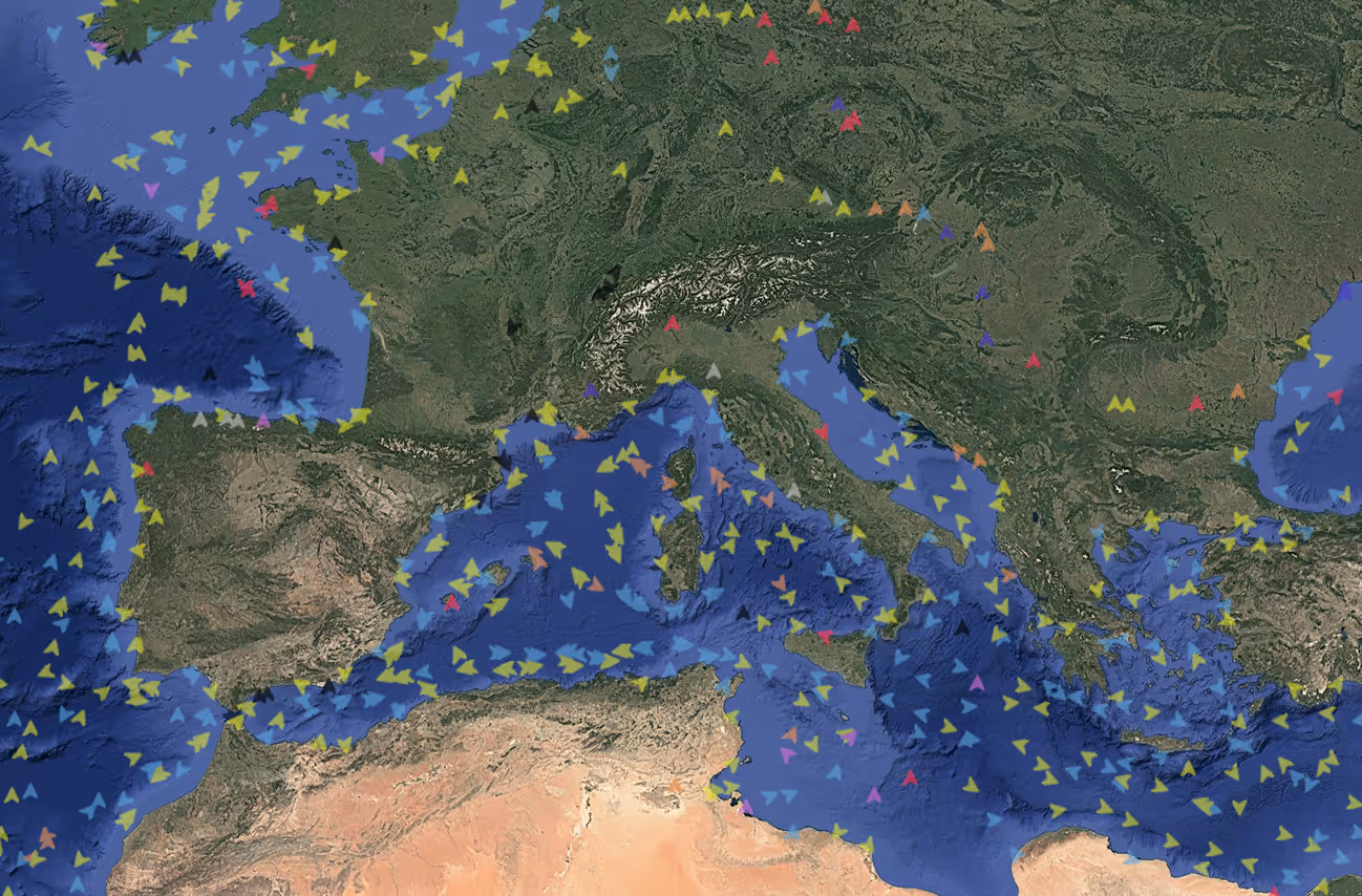
The solution brought together multiple data streams directly into the client’s workflows. AIS data from both commercial and client-owned sources was integrated to provide vessel tracks, metadata, and location history. Real-time maritime weather intelligence, including forecasts tailored to vessel type, load, and route, was delivered through global providers.
Historical and forecast tropical cyclone paths, tsunami databases, tide information, and satellite-derived wave height data from Copernicus/Sentinel were also made available, ensuring comprehensive marine intelligence for risk evaluation.

Fast, comprehensive marine data integration delivered directly into underwriting and risk workflows, empowering our client to evaluate exposures in real time. The solution provided a single source of truth for vessel movement, weather conditions, and extreme event data, ensuring precision and clarity.