



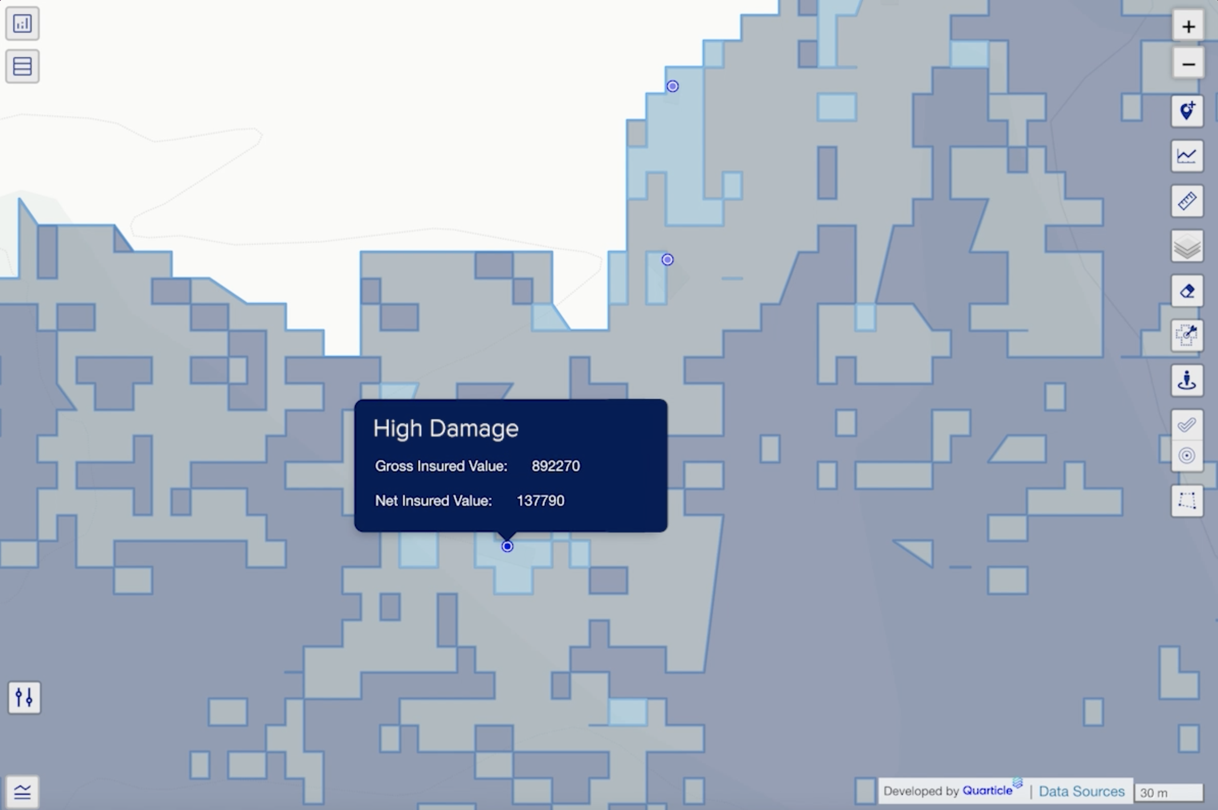


The Quarticle Risk Prevention and Resilience Intelligence solution empowers insurers with proactive risk management by integrating real-time geospatial analysis and field data capture directly into underwriting, claims, and engineering workflows. This enables risk managers to identify and mitigate exposures before they result in costly claims.

.png)





.png)
Powered by our scalable Qarta™ cloud-native GeoIntelligence engine and the Graph interactive location intelligence app, the platform integrates easily with your existing systems to deliver timely, accurate insights. From early hazard detection to field assessments, it equips underwriting, claims, and engineering teams with the data they need to enhance prevention and reduce losses.


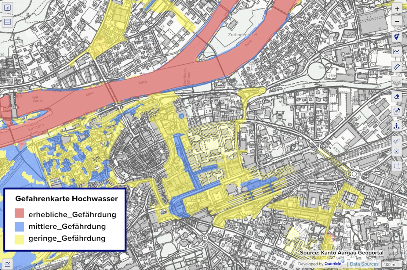
Analyze entire sites at the building level to understand where exposure sits. By intersecting building footprints with flood hazard layers, the feature calculates flood depth and exposure per structure across return periods, supporting more precise damage estimation, targeted mitigation, and efficient underwriting.

