Industries
Insurance / Reinsurance / Brokers
Logistics / Retail / Transportation
Can’t find your industry? Contact us
Products
Qarta
Cloud-Native GeoIntelligence Engine
Graph
Cloud-Based Location Intelligence Platform
Rapid
Cloud-Native Geospatial Business Intelligence Engine
EventHub
Real-Time Natural Event Intelligence
Quarticle Private Cloud
Kubernetes-Powered Private Cloud Platform
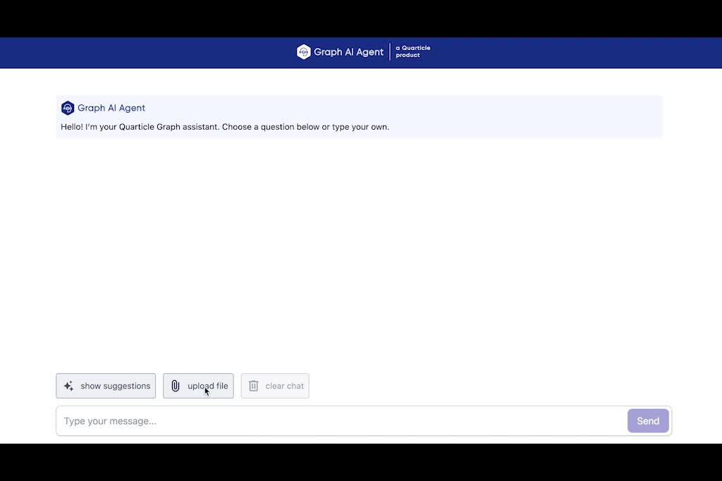
Graph AI Agent
Conversational Geospatial Intelligence
MCP Server
AI-Ready Geospatial Integration for Quarticle Products
Resources
Developers
Data
Integration & Connectors
Case Studies
Blog
About
Partner Program
About Us
Contact
Conversational Geospatial Intelligence
Ask plain-language questions and get instant maps, reports, and insights. No training or technical expertise required.
Talk to an expert
Product Capabilities
Plain Language Queries
Explain your location or analysis needs in simple terms and ask follow-up questions naturally. No GIS skills needed.
Context-Aware Dialogues
Engage in multi-step queries where the AI tracks context for deeper, iterative analysis and refined insights.
Human-in-the-Loop Control
You stay in control. Review, approve, or edit AI-generated outputs before applying them.
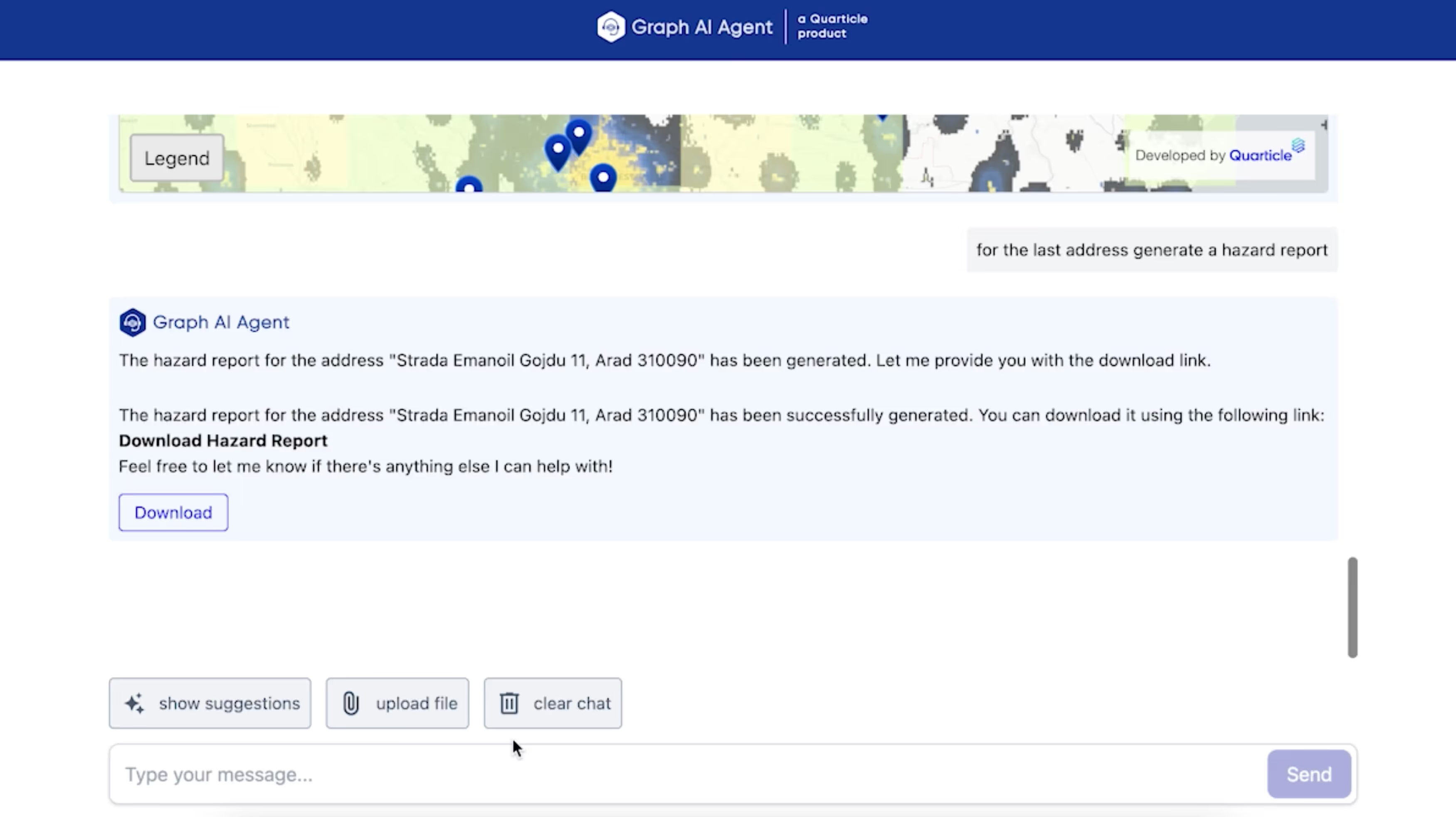
File & Data Upload
Upload CSVs or connect your data to get instant enrichment, visualization, and automated reports.
Multi-Layer Analysis
Combines hazard layers, demographics, and satellite imagery with your data for comprehensive insights.
Scalable Infrastructure
Powered by the
Qarta™
engine, it delivers enterprise-ready user controls and secure layer access.
Proven Results
Instant Insights:
Location analysis in seconds vs. days of manual work
Automated Reporting:
PDF reports and interactive maps are generated on demand
Unified Data View:
Multiple sources combined into clear, actionable visualizations
Enterprise-Grade Security:
Role management, Azure logging, secure file handling
Need geospatial insights via plain language?
Access conversational intelligence with instant maps and reports.
Download the Product Brief
Schedule a demo