

Quarticle provides a cloud-native GeoIntelligence foundation for connecting spatial, environmental, administrative, infrastructure, mobility, and citizen-generated data. High-performance processing, open standards, real-time integration, and intuitive applications make this data accessible across public-sector teams.
Qarta™ processes large territorial datasets and high-volume requests at scale, with OGC-compliant services and APIs for integration with existing GIS environments.
An API-first, microservices-based architecture connects existing systems and data through open formats, interfaces, and established GIS standards.
Containerized services run on Kubernetes for scalable, highly available deployments across cloud, private cloud, hybrid, and controlled environments.
Intuitive web applications make advanced geospatial analysis accessible through maps, dashboards, reports, and analytical views tailored to departmental workflows.
Quarticle provides a common geospatial foundation for connecting GIS platforms, administrative systems, open-data portals, sensors, satellite services, and departmental databases for use across applications and workflows.



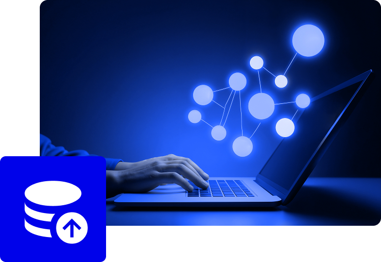
Administrations get a consistent geographic layer across departments without replacing existing systems. Data can remain in its current environment while being connected to the applications and analytical workflows that need it.
Quarticle supports operational digital twins that bring together sensors, infrastructure, mobility networks, environmental information, and municipal services in a shared geospatial model.

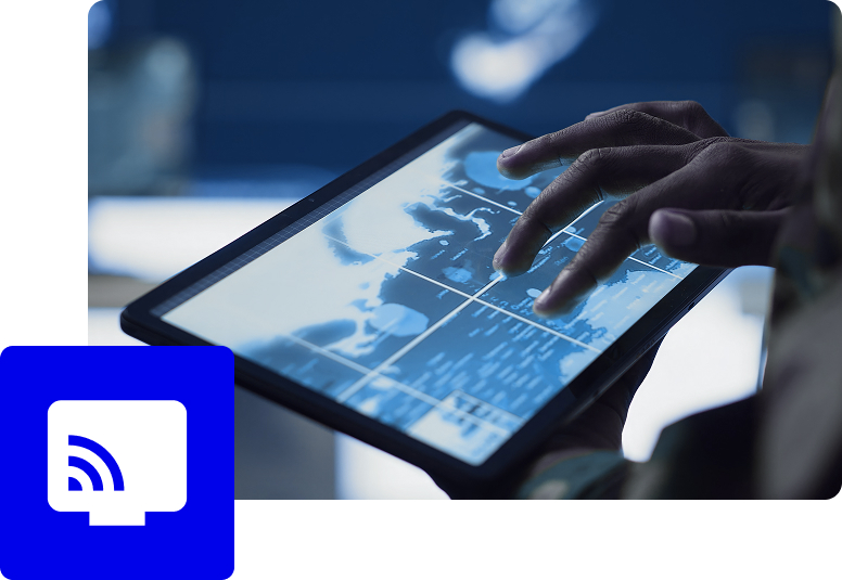
Geographic context becomes part of the operational workflow, connecting environmental conditions, mobility patterns, infrastructure status, and other spatial indicators to defined actions. This enables administrations to move from monitoring what is happening to coordinating how they respond.
Quarticle connects live telemetry with geographic context and historical information so administrations can monitor conditions, identify anomalies, and understand how they evolve.
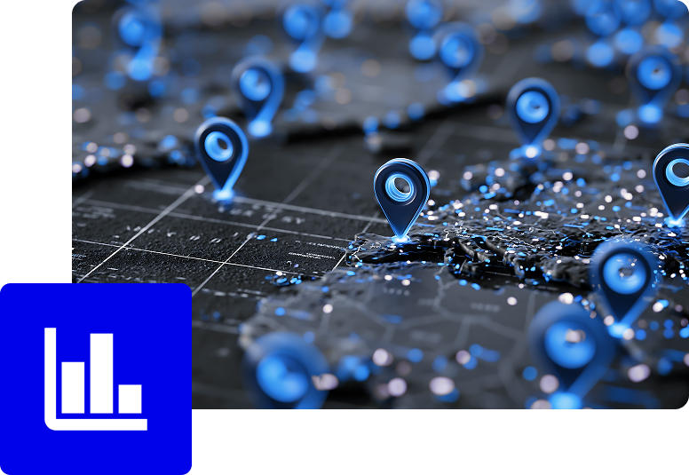
Analyse traffic, infrastructure, environmental conditions, and public space interventions together to identify relationships and support coordinated decisions.
Quarticle brings climate, earth observation, environmental, infrastructure, and territorial data together for spatial analysis and resilience planning.
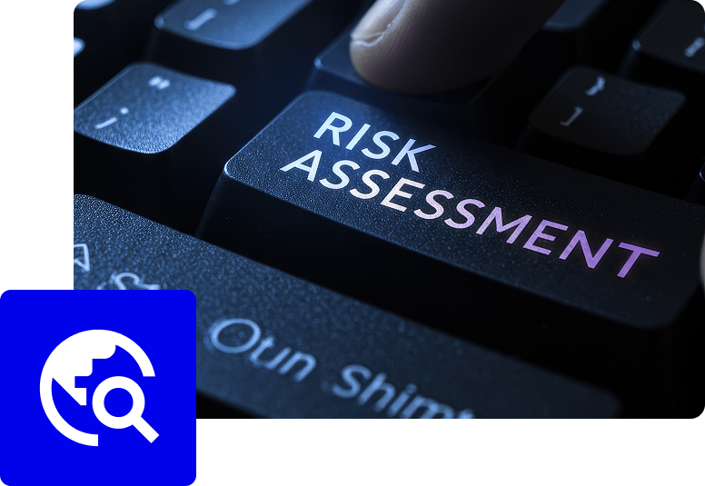
Combine climate and environmental observations with infrastructure, population, land, and service data for resilience planning.

Quarticle connects roads, buildings, utilities, parcels, facilities, and other assets with their geographic context, condition, exposure, accessibility, and surrounding infrastructure and communities.
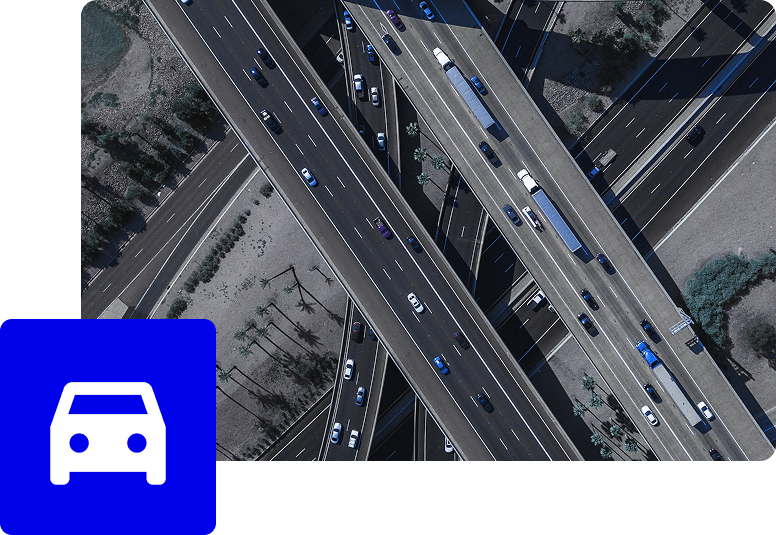
Analyse assets alongside environmental, demographic, mobility, and planning data to support infrastructure and territorial decisions.

Quarticle connects citizen reports with locations, assets, infrastructure, and administrative data in a shared geographic environment.


Quarticle integrates georeferenced citizen reports with infrastructure, environmental, and administrative data in the same operational environment. Teams can map, categorize, assign, track, and analyse requests alongside the related assets, locations, and territorial data.