Publish spatial layers faster

Through a streamlined workflow

Talk to an expert

What GeoPublisher Does
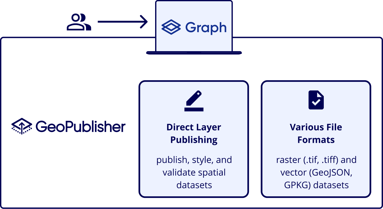
GeoPublisher connects data preparation directly to publication, allowing teams to manage layers within a single, efficient process. This reduces dependency on external tools, while enabling faster updates, greater control over outputs, and a more efficient path to production-ready geospatial services.


Product Capabilities

Direct layer publishing

Publishes spatial layers directly from prepared data without requiring intermediate tools or manual handoffs.

Fast iteration and updates

Supports rapid changes, validation, and republishing of layers, enabling continuous updates without disrupting downstream systems.

Reduced tooling dependency

Eliminates the need for QGIS plug-ins and reduces reliance on fragmented publishing workflows.

Streamlined publishing pipeline

Removes the need to enter GeoServer as a separate step, simplifying the overall publishing process.

Self-managed operation

Provides a controlled environment for managing spatial layers, reducing operational overhead and manual intervention.

From consumption to publication

Enables teams to move beyond consuming geospatial data to actively publishing and managing it within the same platform.

Unified Publishing Layer

Qarta platform architecture diagram showing five stacked layers: Operations, Security, Interoperability, Processing, and Data. The Qarta logo appears in a cloud at the top.

Proven Results

Faster publishing cycles
Reduces the time from data preparation to published layers.
Simplified operations
Minimises manual steps and reduces dependency on multiple tools.
Consistent outputs
Ensures spatial layers are published in a structured and repeatable way.
Improved maintainability
Streamlined workflows reduce operational complexity and ongoing management effort.
Publish spatial layers faster with GeoPublisher
Publish, validate, and manage layers in one environment.