

Building a Trusted Geospatial Data Foundation: The Quarticle Data Hub

Organizations rarely struggle because there is not enough geospatial data available. The bigger challenge is knowing which data to use, how to bring different sources together, and how to make that information useful within existing analytical and operational workflows.
A building location, for example, tells you very little on its own. To understand the risk associated with that location, you may need to consider flood exposure, wildfire risk, weather, population characteristics, accessibility, infrastructure, and your own portfolio data. The value comes from connecting these different sources and putting them into context.
This is the role of the Quarticle Data Hub: providing access to curated geospatial and contextual datasets that can be combined with an organization's own data and used across geospatial analysis, enrichment, visualization, and decision-support workflows.
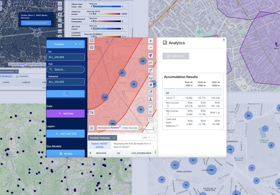
What Makes Quarticle Data Different
The Quarticle Data Hub is designed around the practical needs of organizations working with geospatial information.
Diverse and continuously expanding
Environmental hazards, geopolitical and societal factors, infrastructure, demographics, market data, and other contextual datasets support a wide range of analytical requirements.
Built on open data and standards
Open datasets can be combined with licensed and client-specific information, while open geospatial standards support use across different environments.
Integrated into the Quarticle ecosystem
Data can be used alongside Quarticle's geospatial and analytical capabilities, supporting workflows from data enrichment and visualization to spatial analysis.
Selected from trusted sources
The data offering brings together information from public, commercial, and specialist providers, making multiple sources available through a common data foundation.
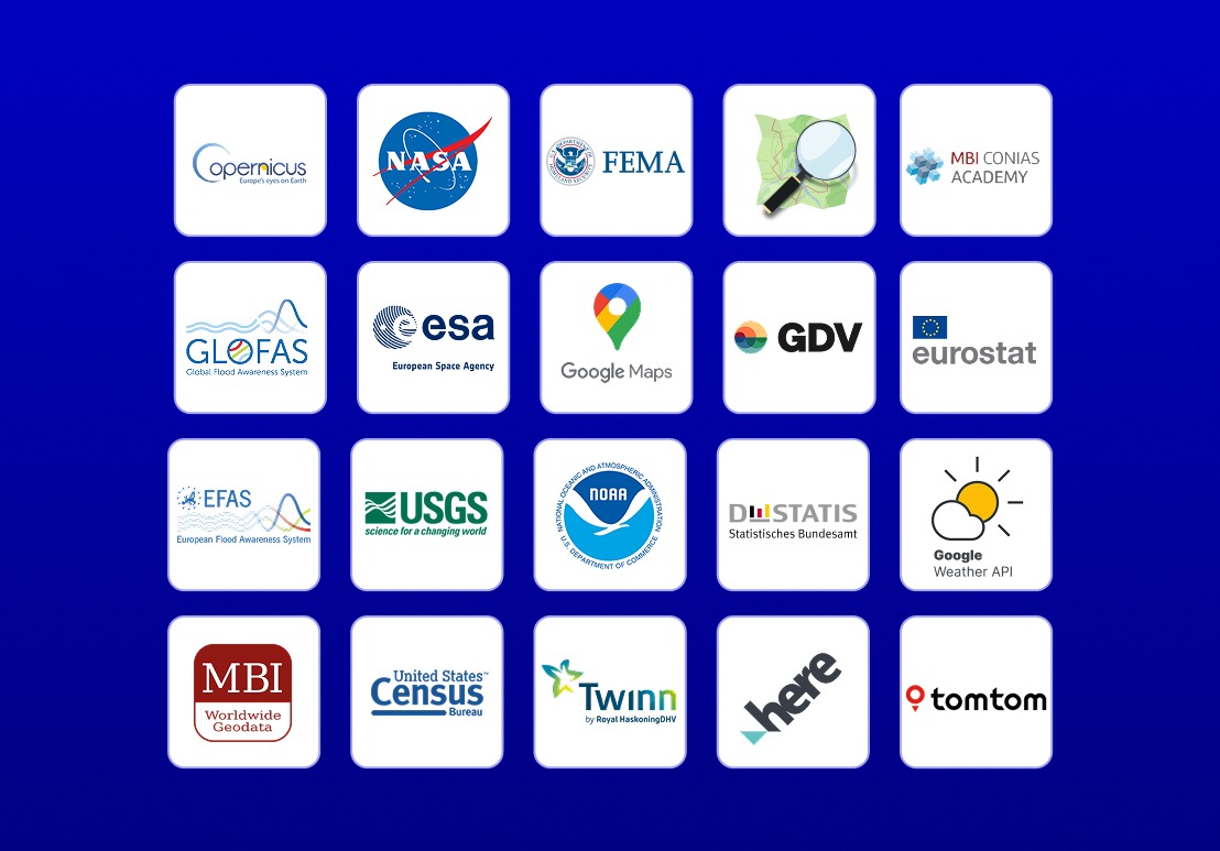
A data foundation built from different sources
The Quarticle Data Hub brings together three main categories:
Open data layers
Freely available datasets from public and global sources provide a valuable foundation for geographic analysis. Sources such as Copernicus and OpenStreetMap can support environmental and demographic analysis, mapping, geocoding, and spatial enrichment. They are particularly useful where broad geographic coverage, transparent sources, and reusable reference information are required.
Proprietary datasets
Some applications require more specialized or commercially maintained information. Quarticle provides access to licensed datasets from trusted commercial partners covering areas such as hazard zones, mobility and traffic, demographics, infrastructure, and economic indicators. These datasets can add specialized coverage, consistent methodologies, or regularly maintained information to an analysis.
Custom and client data
Organizations also have valuable data of their own. This may include policy and exposure records, claims histories, asset inventories, operational information, or other first-party datasets. The Quarticle Data Hub supports the integration of this information with external geographic data, allowing organizations to add the context they need without separating it from their existing data.
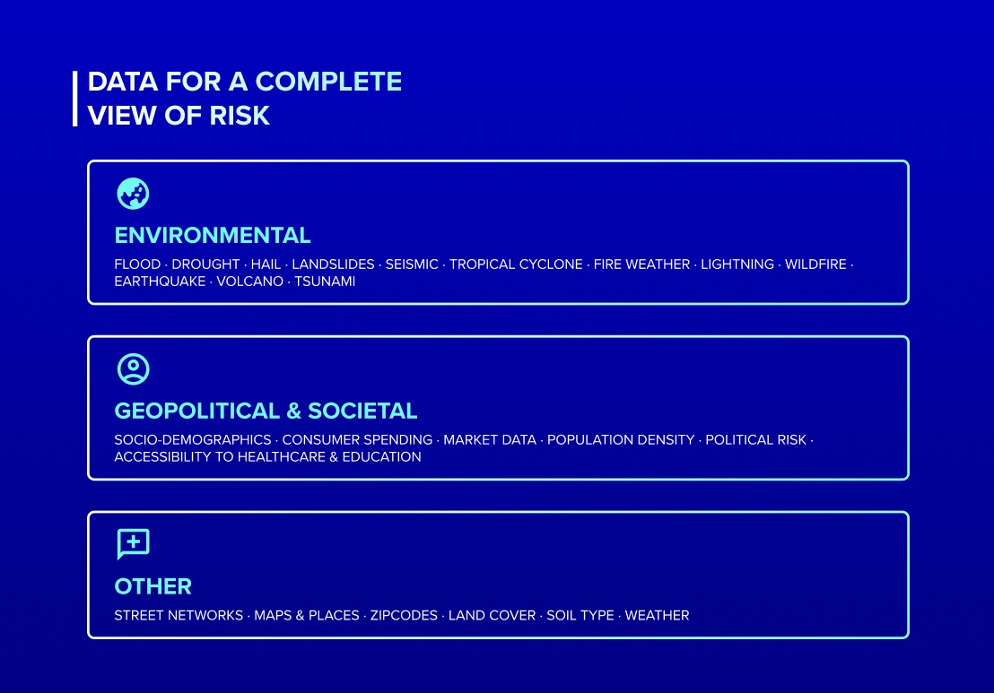
Data should fit into the workflows you already use
Adding another data source should not require an organization to replace its existing GIS or analytical environment. The Quarticle Data Hub is built around open geospatial standards and supports OGC-compliant services including WMS, WMTS, WFS, and WCS. Data can be accessed through established GIS environments such as QGIS as well as through APIs and enterprise data pipelines. This interoperability is important because geospatial data rarely exists in isolation. It needs to move between databases, GIS applications, analytical platforms, APIs, and operational systems.
Explore the Quarticle Data Hub
Do you have the data foundation needed to turn geospatial information into confident operational decisions? Find out more about the Quarticle Data Hub to discover curated datasets and integration capabilities for your geospatial workflows.
